Trail Maps
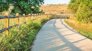
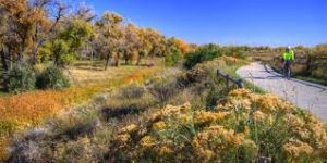
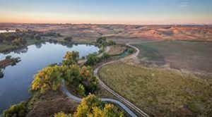
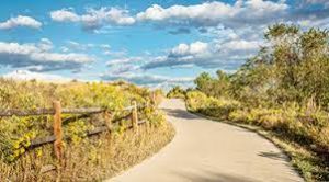
The Cache la Poudre River is rich in history and is the lifeblood for water resources in the Northern Colorado Region. The Poudre River Trail allows access to the section of the river corridor between Greeley and Windsor in Weld County, Colorado. The Trail is a wide paved path with gentle grades that is away from road noise and busy intersections. It allows those that use the trail to enjoy the natural beauty of the meandering river and the stands of cottonwood trees and wetland meadows that line its banks.
The Poudre River Trail is 21 miles of a well-maintained paved pathway for walking, cycling, running, roller-blading, and more. The trail extends from Island Grove Regional Park in Greeley to Colorado Highway 392 in Windsor where it connects to the trail in Larimer County’s River Bluff’s Open Space. The trail is open to the public and includes informational signs that highlight many of the historical sites and educational opportunities to visit along our trail. There are many locations within Windsor and Greeley to catch the trail.
The trail is open to the public and includes informational signs that highlight many of the historical sites and educational opportunities to visit along our trail. The trail is located about 50 miles north of Denver and 2.5 miles East of Interstate 25 just South and roughly parallel with Colorado Highway 392. There are many locations within Windsor and Greeley to catch the trail.
